Description
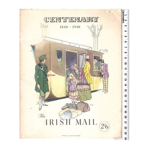
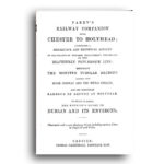
Booklet paper covers pp.67. contains strip maps “Read upwards going north, downwards going south” of the route between Euston and Holyhead. The sketch maps not only indicate features of interest to be seen on either side of the train, but indicate the position of every overbridge and significant underbridge with the names of rivers and canals crossed.
Illustrated with little B&W pen and ink vignettes of buildings and places en route.
PREVIEW BELOW – MAY TAKE A WHILE TO LOAD.

Reviews
There are no reviews yet.