Description
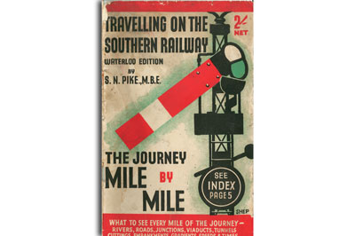
Here, a private individual has filled the gap, at least in respect of the former LSWR lines to the South Coast and the West Country. Many hours of work must have been dedicated to the task, 10,000 words and 27 maps showing gradients, mileages, speeds, junctions, viaducts, tunnels, rivers and roads. If there is a fault it lies in the tiny font used for the text panels, which is not easy to read.
Compare with the LMS publication “The track of the Royal Scot” which we have available in the LMS GROUP category.
PREVIEW BELOW – MAY TAKE A WHILE TO LOAD.

Reviews
There are no reviews yet.